- Mon 17 November 2003
- NewZealand
- Gaige B. Paulsen
- #travel
| Date: | 17.11.2003 |
| Start Location: |
Westport Top 10 Holiday Park |
| End Location: |
Murchison |
| Distance Driven | 345km (4036km) |
Summary:
| Time: | 11:00 |
| Location: | Westport Top 10 Holiday
Park S: 41° 45.097' E: 171° 36.742' |
| Name: | Karamea drive |
| Description: | |
|
The morning began much as many of the mornings of this trip have begun, with rain. However, uncharacteristically, it suddenly changed to overcast with a hint of sun and gave us hope for improving weather conditions. Said conditions had been predicted, but we had seen that trick before in our travels on the South Island and were not about to believe it prematurely. As it turned out, our luck held and the day became clearer and more pleasant as it went on. The drive along the northern portion of the West Coast is quite pleasant, staying close to the Tasman for a great portion of the 100+ km between Westport and the Start of the Heaphy Track (the northernmost point access able by vehicle along this coast).
|
|
| Time: | 12:48 |
| Location: | Kahaihai Bluff S: 41° 06.562 E: 172° 06.111' |
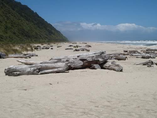
| Name: | Waves and sun |
| Description: | |
|
At the end of the road, we got out and enjoyed not only sunshine, but also a beautiful sandy beach—once again devoid of interlopers. Waves crashed on the rocks and a small river ran into the Sea immediately up the coast from us.
|
|
| Time: | 14:00 |
| Location: | Big Rimu Tree Walk S: 41° 14.915' W: 172° 11.551' |
| Name: | Big Rimu Tree Walk |
| Description: | |
|
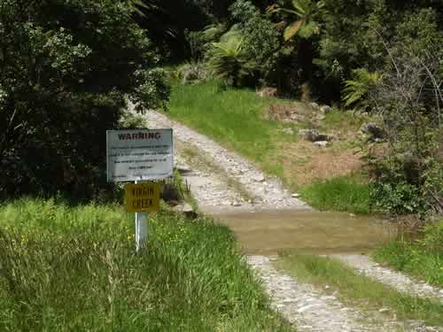
In one of our now ritualistic jaunts down very small roads, we found ourselves running along the Karamoa River on Umere Road (one that stopped on the GPS about 20km before we stopped running on it). The road wound through a number of nice farms along the river and provided some interesting views. However, all good things must come to an end, and the road petered out with a warning sign... too bad we didn't have a 4WD camper van.
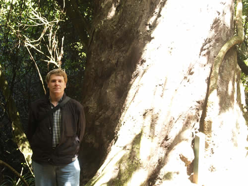
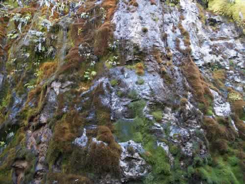
Fortunately, our adventure wasn't over. One of the benefits to going off of the beaten path (and the map for that matter) is that we have found many tracks and trails that were not documented in any of our guidebooks or maps. Today's treat was the Big Rimu Tree Walk. The walk winds for about an hour (round trip) through a native-growth forest with a set of 15 markers with information about each of the trees and plants scattered throughout the walk. The target was the Big Rimu Tree (shown with me for scale):
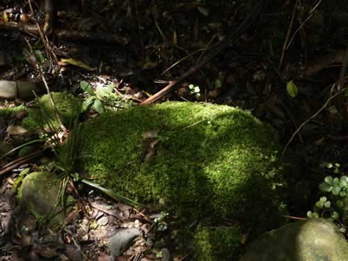
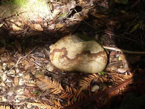
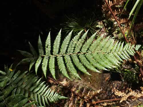
As a bonus, we also saw a variety of interesting shrubs, trees, mosses, and vines. All in all, quite a treat.
|
|
| Time: | 16:15 |
| Location: | Chasm Creek S: 41° 32.455' E: 171° 58.443' |
| Name: | Chasm Creek Walk |
| Description: | |
|
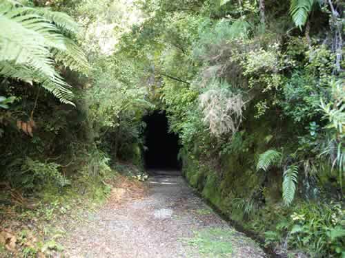
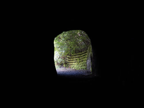
Another of our little side trips lead us to Chasm Creek, a walkway using the rails-to-trails design. The old railway was presumably a way to get access to the coal mines that used to inhabit this general area. Now abandoned, the mines no longer needed their rail lines, and the right-of-way has been usurped for public purposes. This left a nice walking path (much longer than we eventually walked) that runs along the Mokihinui River for over 50km.
|
|
| Time: | 17:20 |
| Location: | Westport |
| Name: | East over the mountains |
| Description: | |
|
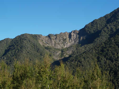
By late afternoon, we were headed once again over the mountains and back toward the East Coast. There is one more major route across the country we hadn't taken, and we wanted to give it a shot. Heading east, we took NZ6 to Murchison. This road, running along the Buller River, is known for being the site of two significant earthquakes this past century, one in 1929 and one in 1968. Landslides (slips) resulting from this activity are clearly visible at a number of points along the route.
|
|
| Time: | 19:55 |
| Location: | Murchison S: 41°47.764' E: 172°16.426' |
| Name: | Home sweet park |
| Description: | |
|
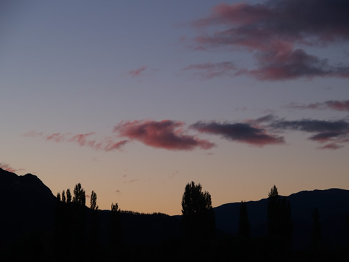
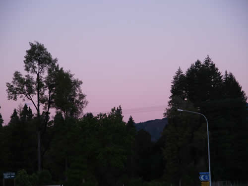
Once again, we settled in to a Holiday Park and hooked up to the power to charge the electronics, feed the phone, and cool the Mountain Dew and Diet Coke. Outside, while we prepared camp, the sun was setting on another gorgeous day in New Zealand.
|
|