- Fri 14 November 2003
- NewZealand
- Gaige B. Paulsen
- #travel
| Date: | 14.11.2003 |
| Start Location: | Franz Josef Glacier
Rainforest Motor Park S: 43° 23.191' E: 170° 11.104' |
| End Location: |
Arthur's Pass Public
Shelter |
| Distance Driven | 245km (3086km) |
Summary:
| Time: | 09:04 |
| Location: | Franz Josef Glacier S: 43° 25.409' E: 170° 10.115' |
| Name: | Hike Franz Josef Glacier |
| Description: | |
|
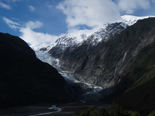
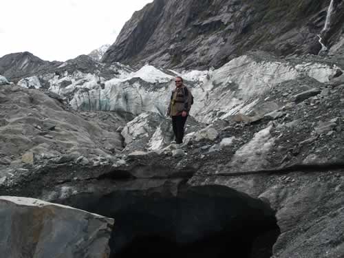
This morning we woke up and went directly to Franz Josef Glacier. There we hiked from the carpark to the glacier (approximately one hour return under normal circumstances-- without taking photos).
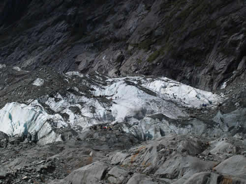
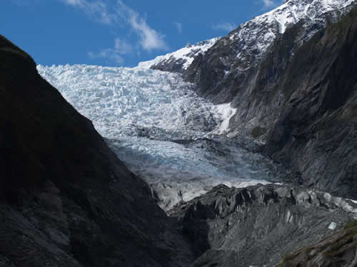
We then proceeded onto the debris field to get some closer pictures, including an attempt to see the flow from the foot of the glacier, and the more compact blue ice.
And then onto the ice itself in order to give it a good look. Here's Mike atop an ice cave.
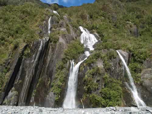
As with much of New Zealand, the glacier had its own pretty waterfalls around the site.
|
|
| Time: | 13:25 |
| Location: | Ross Beach S: 42° 52.847' E: 170° 47.957' |
| Name: | Ross Beach |
| Description: | |
| Our trip out to Ross Beach was relatively uneventful. It was another pretty desolate stretch of beach on the West Coast of New Zealand. The Tasman Sea was quite a bit less friendly looking than yesterday, providing some very impressive waves. | |
| Time: | 15:16 |
| Location: |
Arthur's Pass |
| Name: | Entering Arthur's Pass |
| Description: | |
|
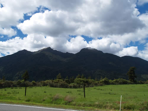
As we turned eastward into Arthur's Pass, we started seeing mountains again, complete with snow-capped peaks. As we drove along, we stopped occasionally to snap some pictures of various mountains.
|
|
| Time: | 16:08 |
| Location: | S: 42° 52.852' E: 171° 33.329' |
| Name: | Kuh..kuh..kuh..Kea! |
| Description: | |
|
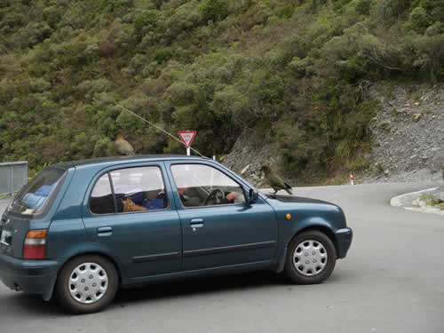
Stopping at the side of the road at a "scenic viewpoint," we were accosted by another group of Kea, who decided that our campervan was not only a good perch, but potentially good for eating.
|
|
| Time: | 16:20 |
| Location: |
S: 42° 53.303' E: 171° 33.393' |
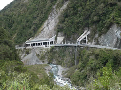
| Name: | The Arthur's Pass Viaduct |
| Description: | |
|
One of the more interesting parts of the drive to Arthur's Pass was crossing the viaduct shown below. It cost NZ$25M to build and was considered an engineering marvel in 2001 when it was completed. All in all, I'm happy we aren't on the windy old road, which used to have a grade of 16% (the new one is said to be a mere 12%).
|
|
| Time: | 17:19 |
| Location: | Devil's Punchbowl S: 42° 56.112' E: 171° 33.626' |
| Name: | Devil's Punchbowl Hike |
| Description: | |
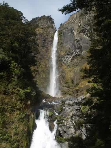
|
Arriving early at Arthur's Pass and not in immediate need of food, we decided to take a hike up to the Devil's Punchbowl, said to be the most spectacular waterfall in this park. The hike was mostly uphill on a stair-step track that is clearly well maintained (although under repair due to recent landslide problems). The hike was around an hour to the falls and back and provided yet another chance to hike in the rain. However, the rain was light and so pictures were not deterred.
|
|