- Wed 12 November 2003
- NewZealand
- Gaige B. Paulsen
- #travel
| Date: | 12.11.2003 |
| Start Location: | Aspiring Campervan
Park, Wanaka S: 44° 42.331' E: 169° 5.418' |
| End Location: | Fox Glacier Lodge &
Motor Park S: 43° 28.026' E: 170° 01.087' |
| Distance Driven | 271km (2752km) |
Summary:
| Time: | 10:20 |
| Location: | Aspiring Campervan
Park, Wanaka S: 44° 42.331' E: 169° 5.418' |
| Name: | Leave Wanaka |
| Description: | |
|
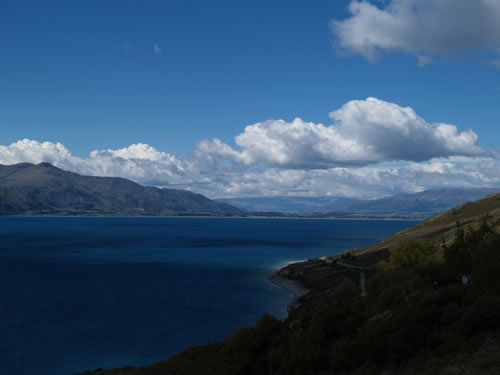
After a quick resupply mission to the New World grocery store and a run at breakfast, we headed off towards the West Coast of New Zealand via NZ6.
During the next few hours, we would wind our way alongside Lake Hawea and the northern portion of Lake Wanaka and then move into the mountains to go through Haast Pass.
The lakes each had wonderful water and provided a number of stunning views of the mountains ahead and behind.
The route through Haast Pass goes first through Mount Aspiring National Park and then eventually winds around into Westland National Park before arriving at Fox Glacier.
|
|
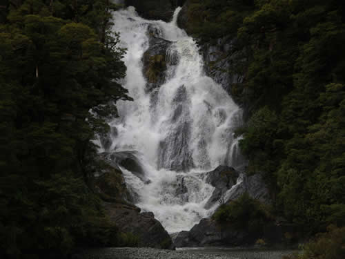
| Time: | 12:45 |
| Location: | Fantail Falls S: 44° 04.621' E: 169° 23.173' |
| Name: | Fantail Falls Overlook |
| Description: | |
|
We stopped to look at Fantail Falls on our way through Haast Pass. When the road we were on was being constructed earlier this century (from the 1930's through post World War II), this area had a waterwheel which was used to power road building equipment.
|
|
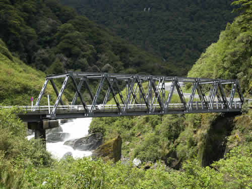
| Time: | 13:10 |
| Location: | Gates of Haast S: 44° 02.245' E: 169° 22.754' |
| Name: | Gates of Haast Bridge |
| Description: | |
|
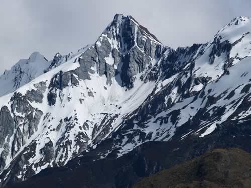
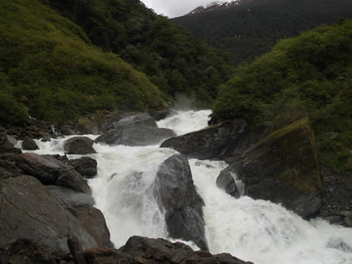
The centerpiece of the Haast Pass is the Gates of Haast bridge. It was completed late in the project and provided the essential link across the Haast River, which kept the two areas separated.
At the bridge, it is easy to see the ferocious nature of the river and understand why it made such a good natural barrier.
Mike originally assessed the Haast as a V+, but later decided that it was indeed a VI after taking a closer look.
|
|
| Time: | 15:08 |
| Location: | Ship Creek S: 43° 45.472' E: 169° 08.864' |
| Name: | Ship Creek Lookout |
| Description: | |
|
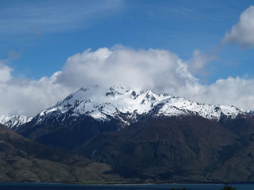
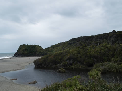
Going north, the Haast Pass road ends at Haast (not surprisingly). At this point, we had now gone from a lake community in the mountains at an altitude of approximately 300m to a seaside community. Vegetation had changed from Silver Beech and coniferous trees to a canopied rainforest.
|
|
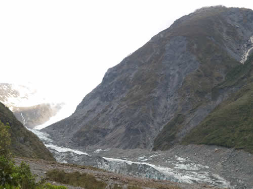
| Time: | 17:15 |
| Location: | Fox Glacier S: 43° 29.747' E: 170° 02.573' |
| Name: | Fox Glacier View |
| Description: | |
|
Arriving at Fox Glacier at a little after five, we decided to take a quick peek at Fox Glacier before grabbing dinner and turning in (since there was no cellular or internet service, little communication was to be done tonight except for writing). The views from the short walk gave us a taste for tomorrow's views, which should prove a bit more satisfying than those of Tasman, which was enshrouded in rock. The Fox Glacier is quite visible as an icy mass.
|
|
| Time: | 17:57 |
| Location: |
Fox Glacier Lodge
& Motor Park |
| Name: | Arrived in Fox Glacier Township for the night |
| Description: | |
|
The end of our trek put us in Fox Glacier Township for the night, with the intention of tackling the walk to Fox Glacier's terminus in the morning. Looking at the map, we realized that we are spending the night about 30km from where we spent night 3, in Mt. Cook. By that same token, we are looking at the "back" of many of the mountains we saw from the other side nearly ten days ago. |
|